
Monitoring of Mangroves in Somalia (Puntland, Somaliland and South Central Somalia)
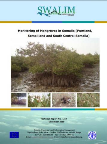
Monitoring is the repeated observation of a system in order to detect signs of change. Monitoring can be used to quantify change, identify the causes of change and determine acceptable levels of change. Socioeconomic monitoring allows us to understand what kind of human induced factors affect the mangrove, whether people are benefiting from the current levels of management and how they perceive the ecosystem in question. Ecological monitoring allows us to form a picture of how the ecosystem is doing. In order to carry out monitoring, we first need to establish a baseline (the situation, or point in time, from which we are measuring change. Small areas of mangrove forests exist in the estuary of the Juba River and on the coast between the Juba River and the Kenyan border.
Some mangroves are also found in the coastal areas of Somaliland and Puntland, near Zeylac and East of Bossasso, respectively. Here, trees such as Avicennia marina, Rhizophora mucronata, Ceriops somalensis, Bruguiera gymnorrhiza, Sonneratia alba and Xylocarpus obovatus (see appendix 7) reach a height of 10 to 15 m in thick clumps. North of Mogadishu, only dispersed mangroves are found with trees 5 to 6 m high. The patches of mangroves in Somalia play a vital role in reducing shoreline erosion. These mangroves are also habitats to fish and are critical for conservation of biological diversity. Since 1991, Somalia has been subjected to extreme environmental degradation, natural and man-made associated with the current war and lawlessness. Consequently, the mangroves of Somalia now remain degraded and so urgent solutions have to be sought